Iceland
Click the thumbnail to view the photo. Please view them full screen (F11).
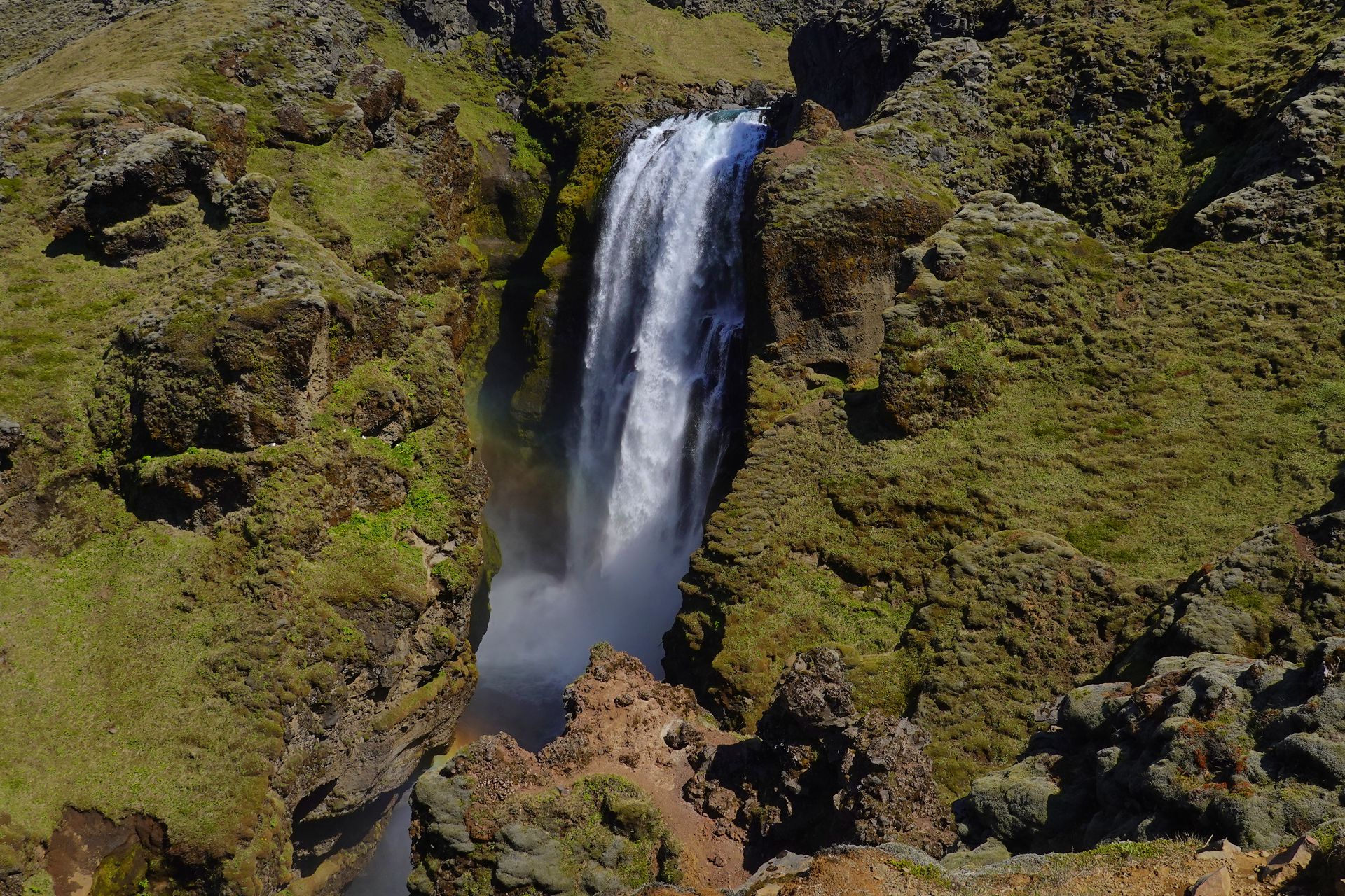
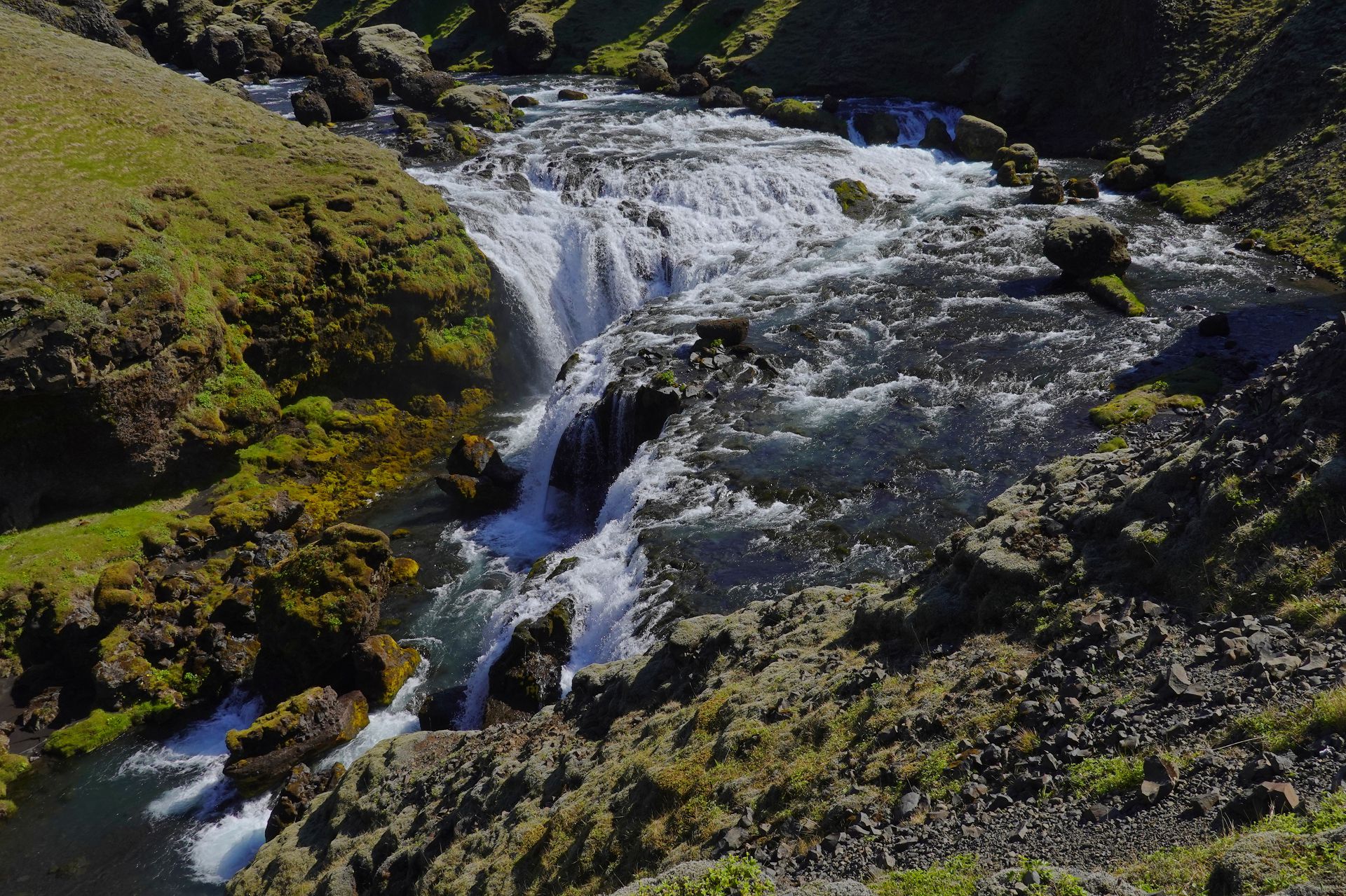
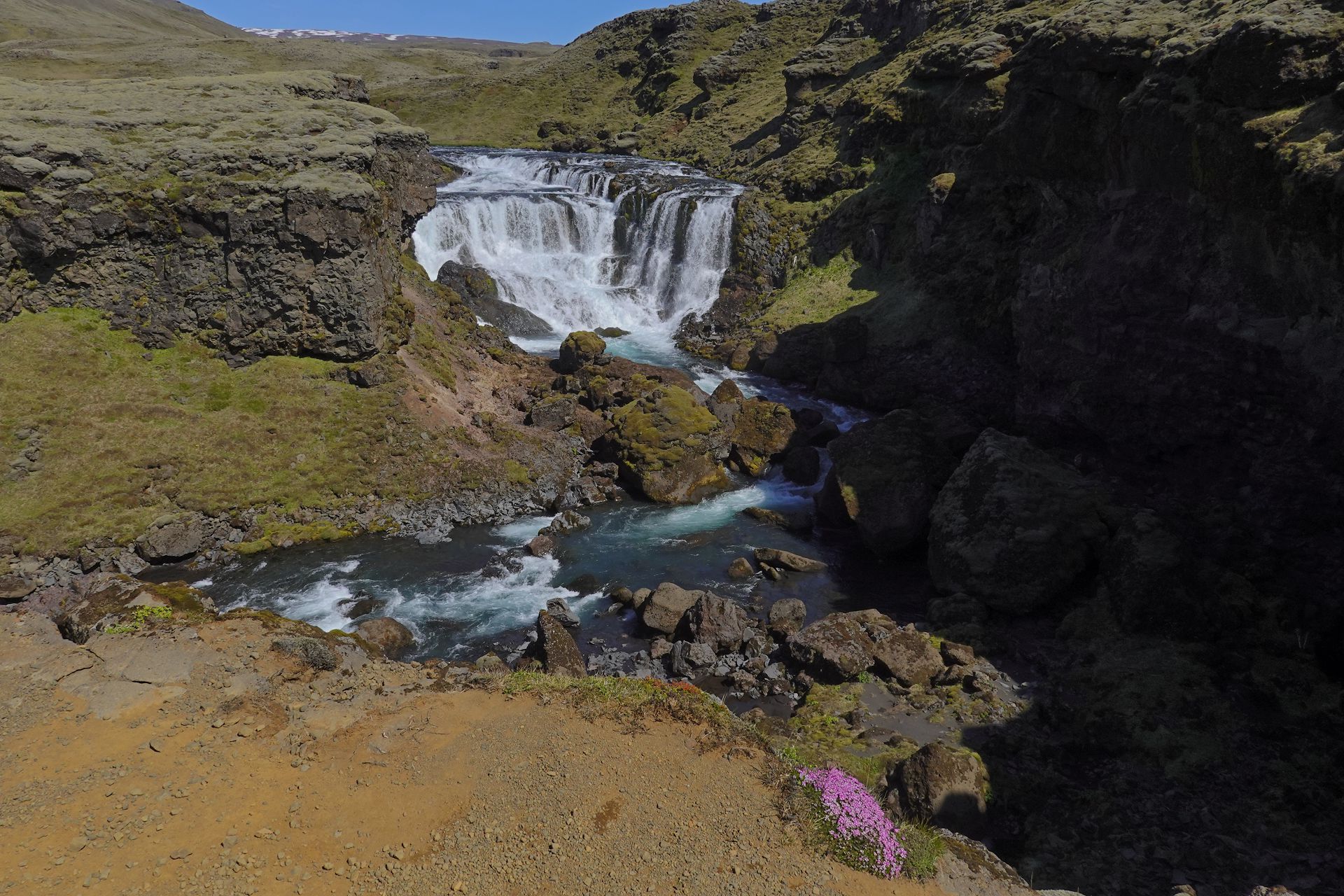
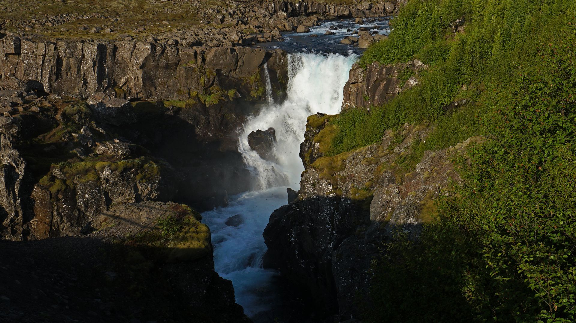
Skogar
The Skogar river is fed by two glaciers on the plateau, and then plunges in a series of waterfalls, all different, to the coast.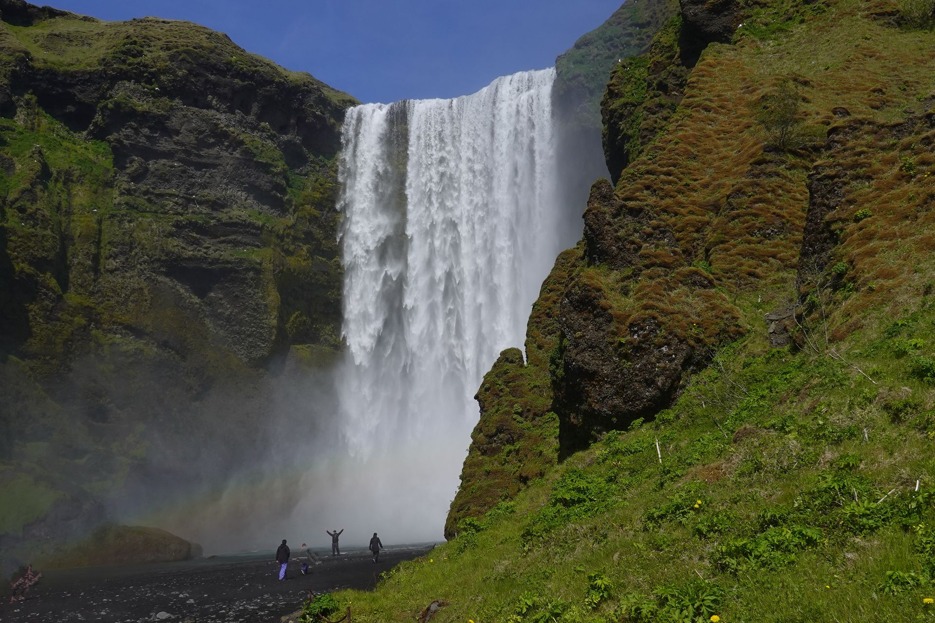
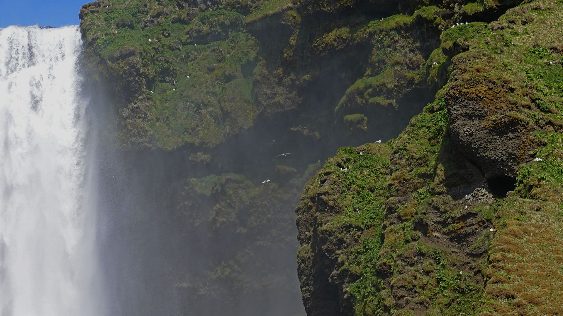
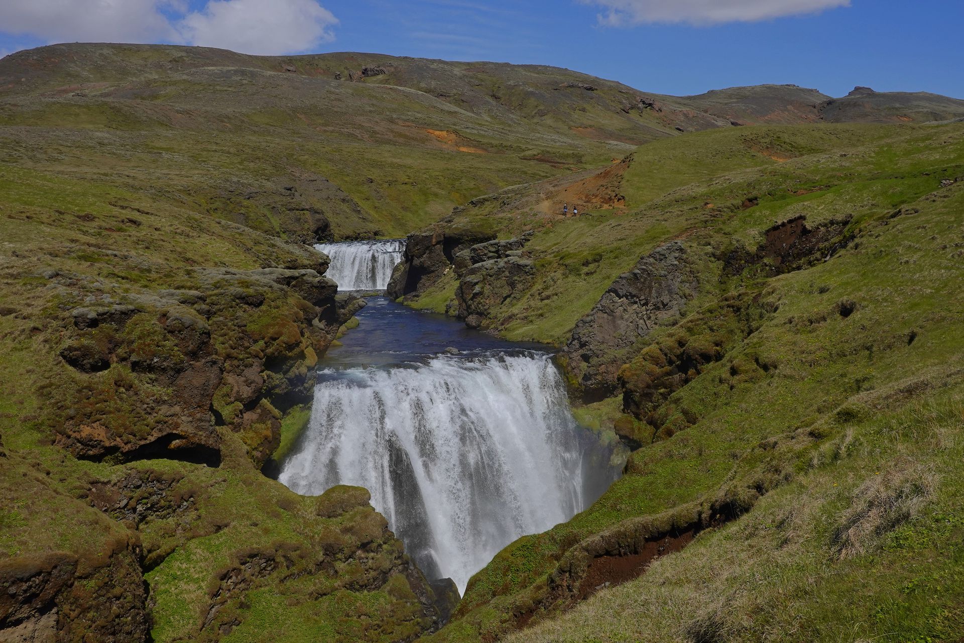
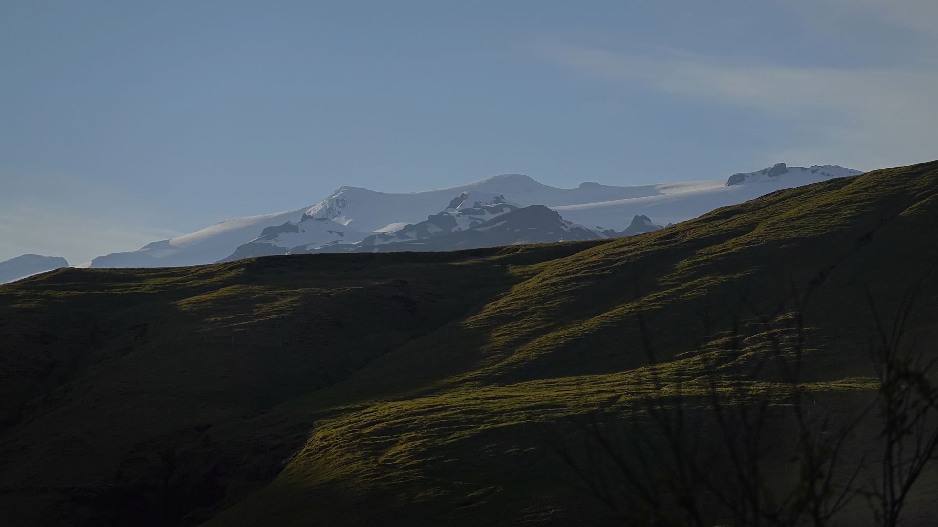
1. The last, and highest, waterfall. 2. Fulmars can be seen nesting on the cliffs. 8. Eyjafjallajokull ice cap from my hotel room.
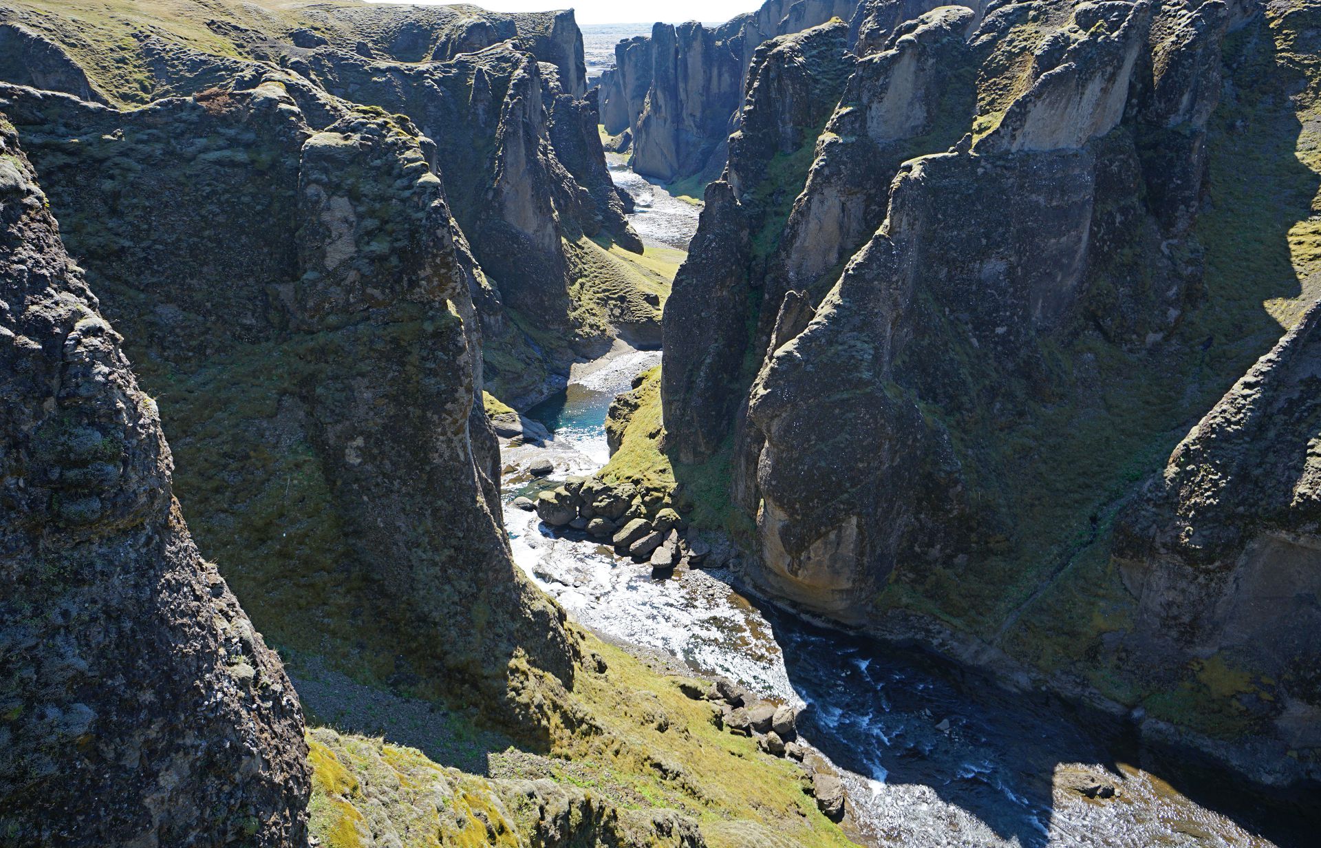
Fjadrargljufur (canyon). A peak.
Vatnajökull National Park
The park covers 14,141 km2, but 8,100 km2 consists of the Vatnajökull (largest ice cap in Iceland)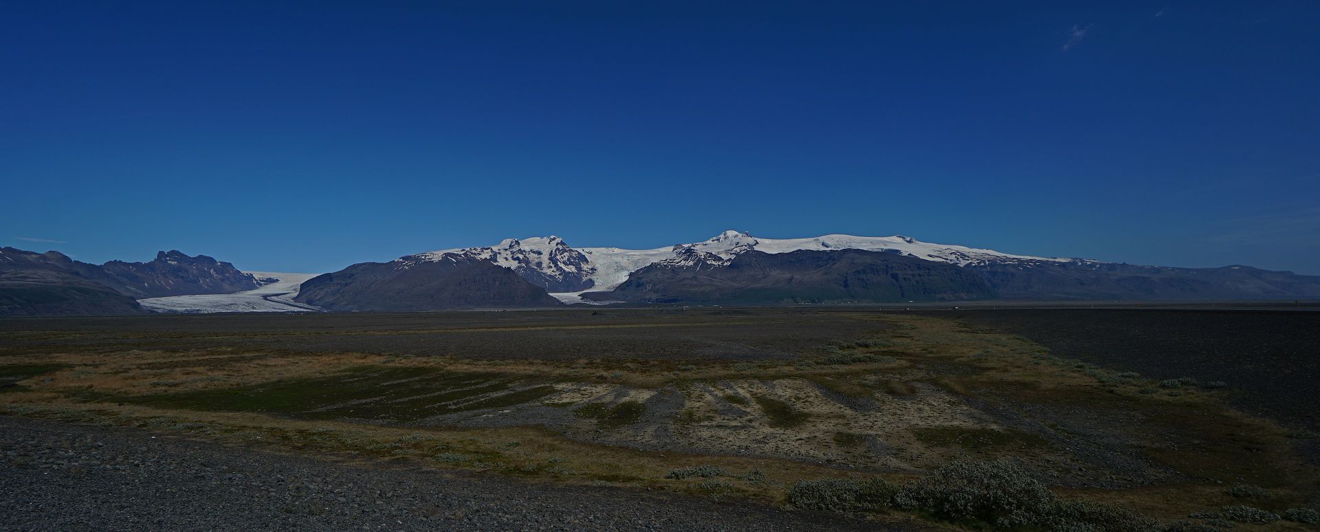
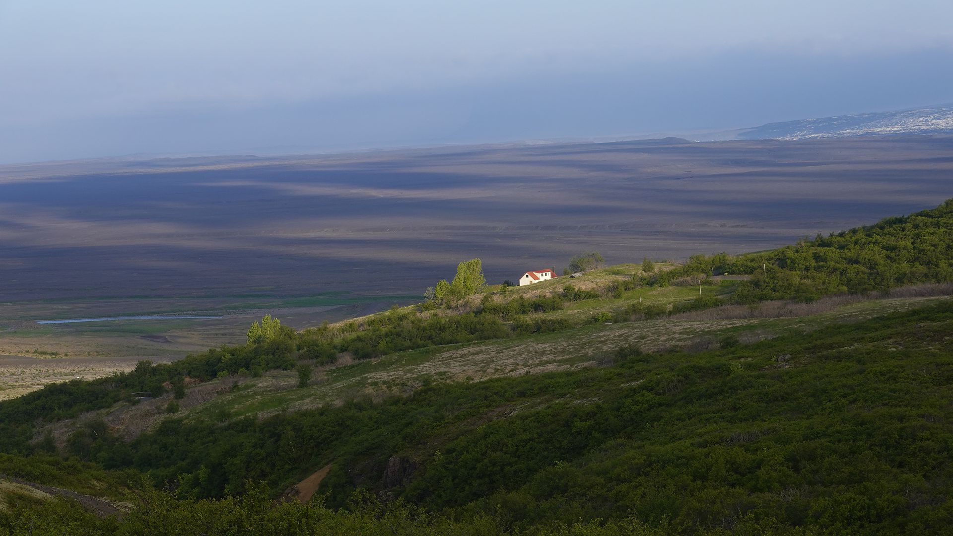
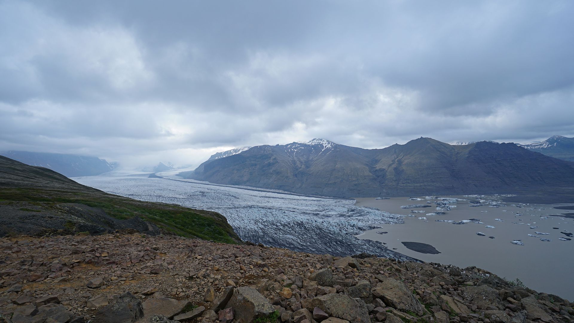
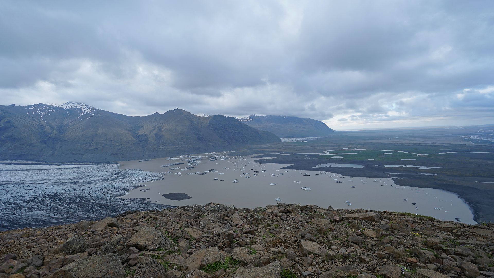
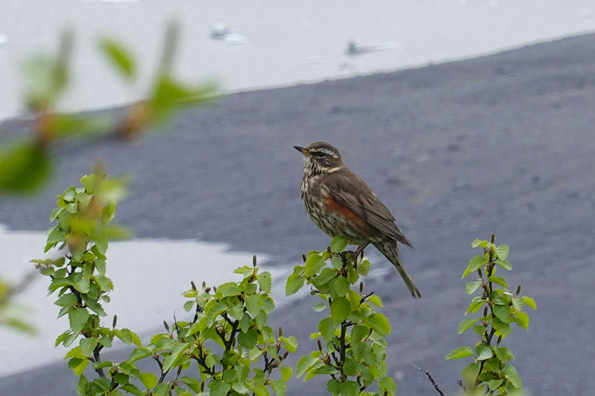
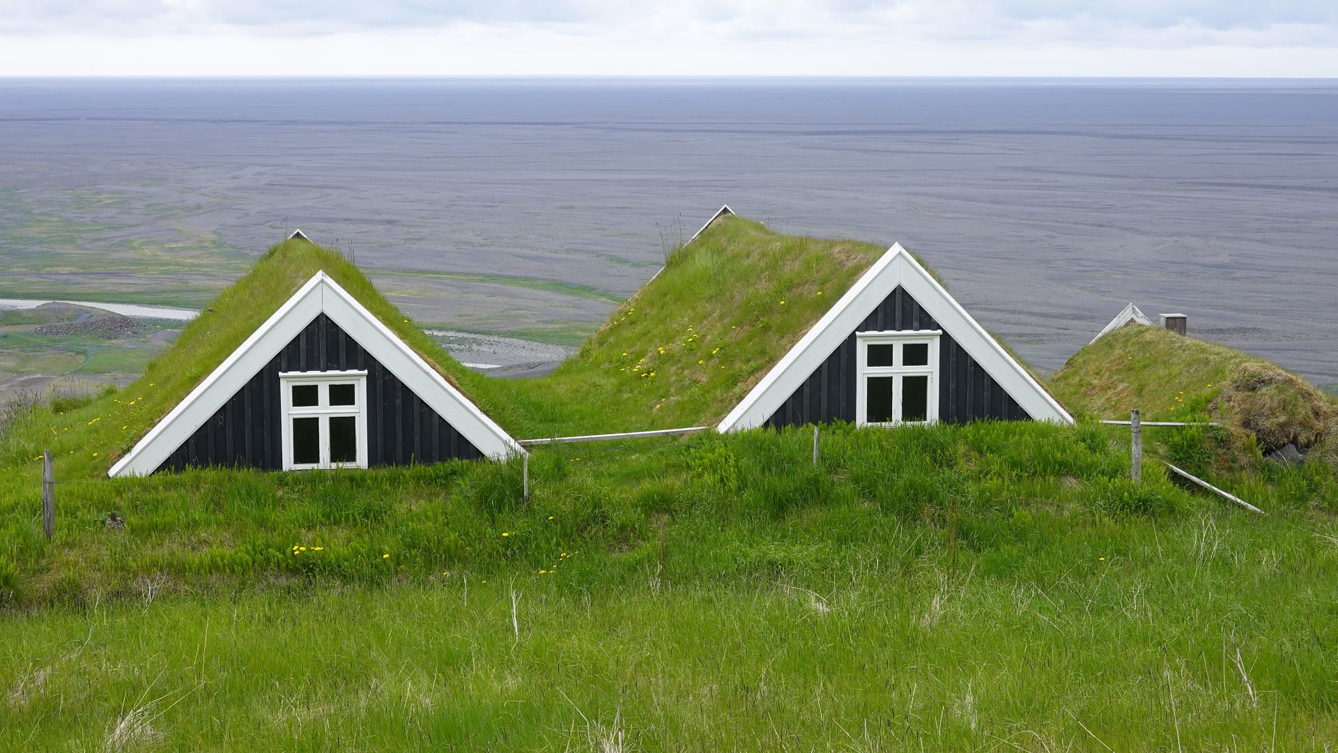
1. Distant view, before it clouded over. 2. From an early morning hike (5:12am). 3. Lonely farm house. 4. Upper Skaftafellsjokull. 5. Lower Skaftafellsjokull. 6. Across the Skaftafellsjokull. 7. Redwing. 8. Traditional turf houses.
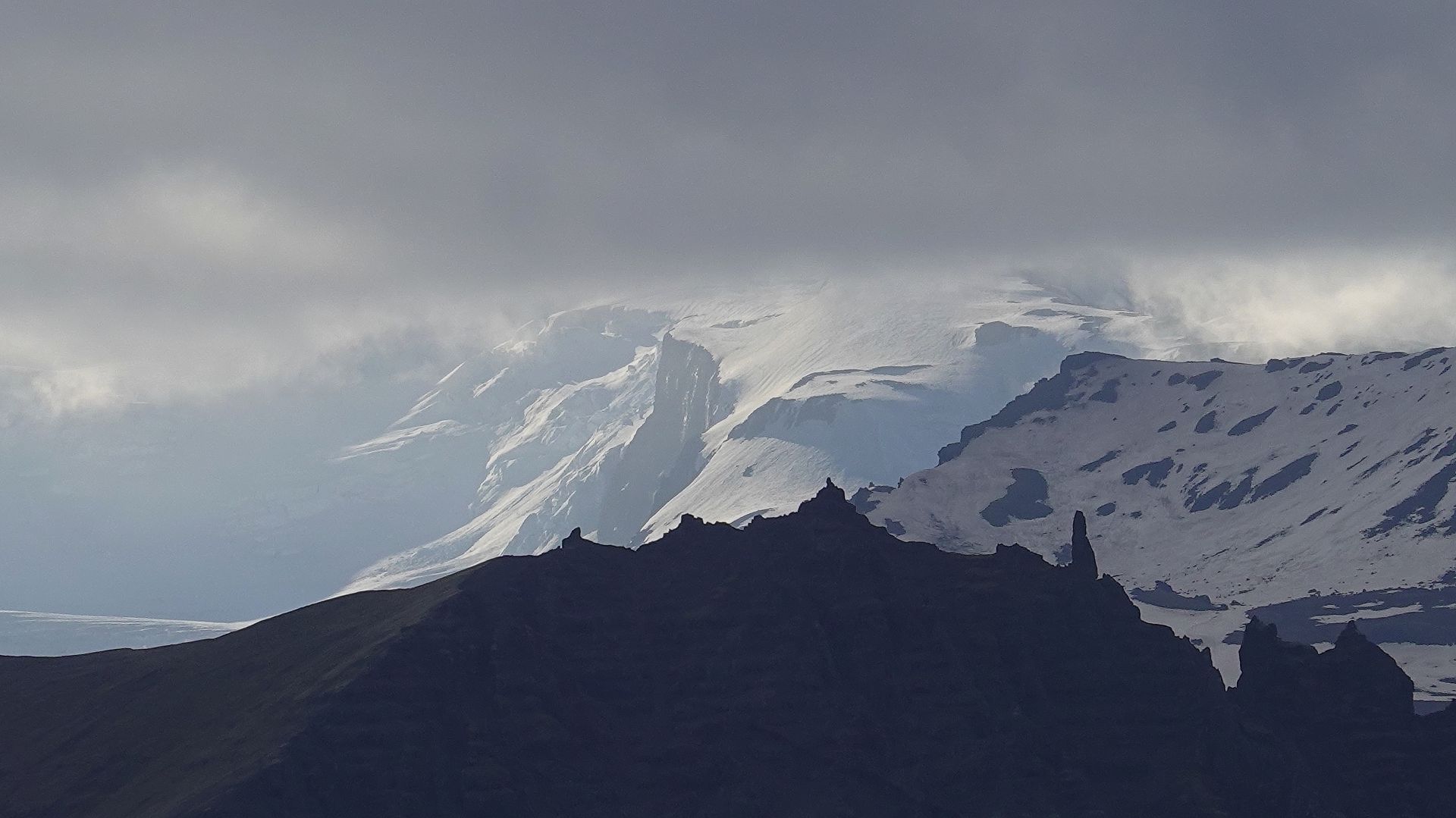
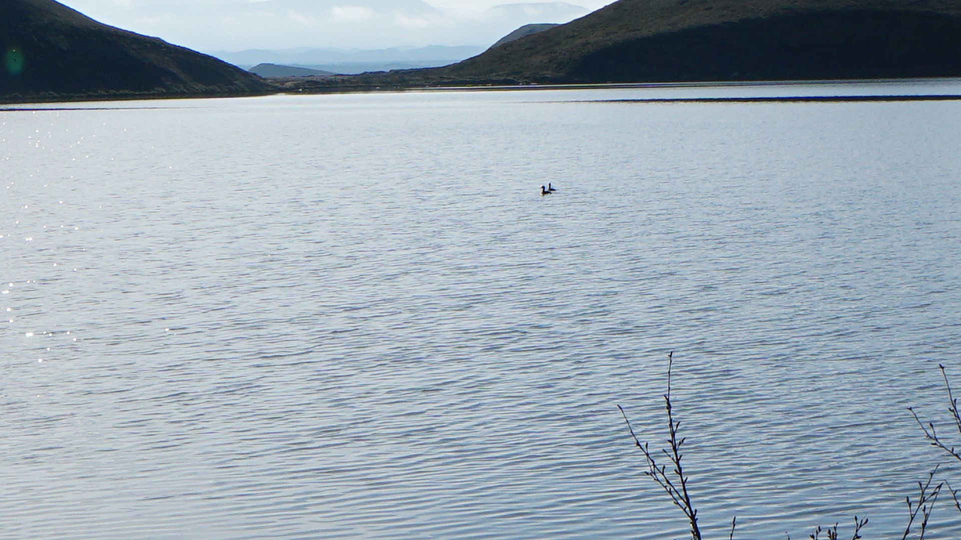
Jökulsárlón ice lake
After a bright start, the day became wet and gloomy, but I was happy to see the great skua.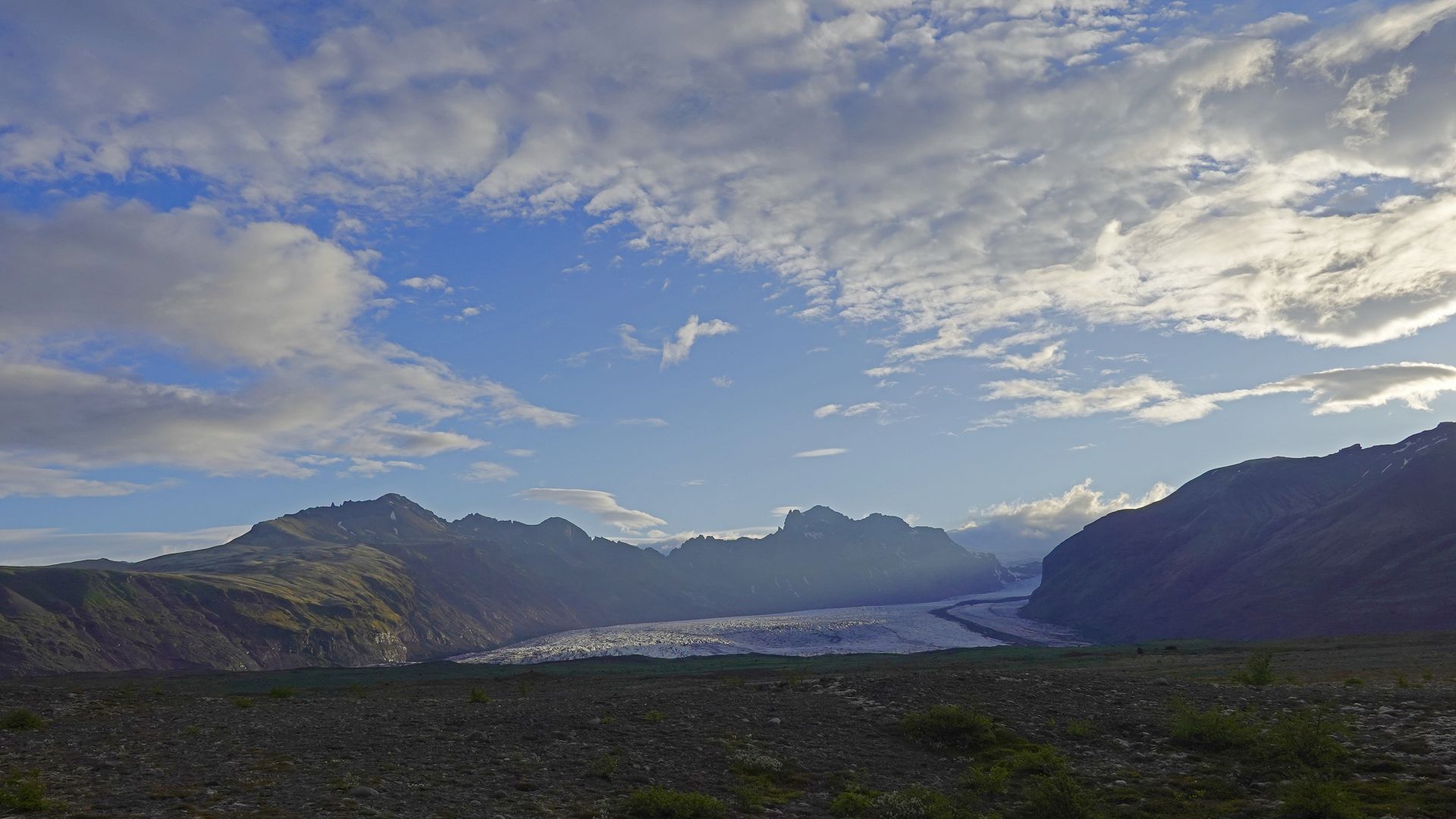
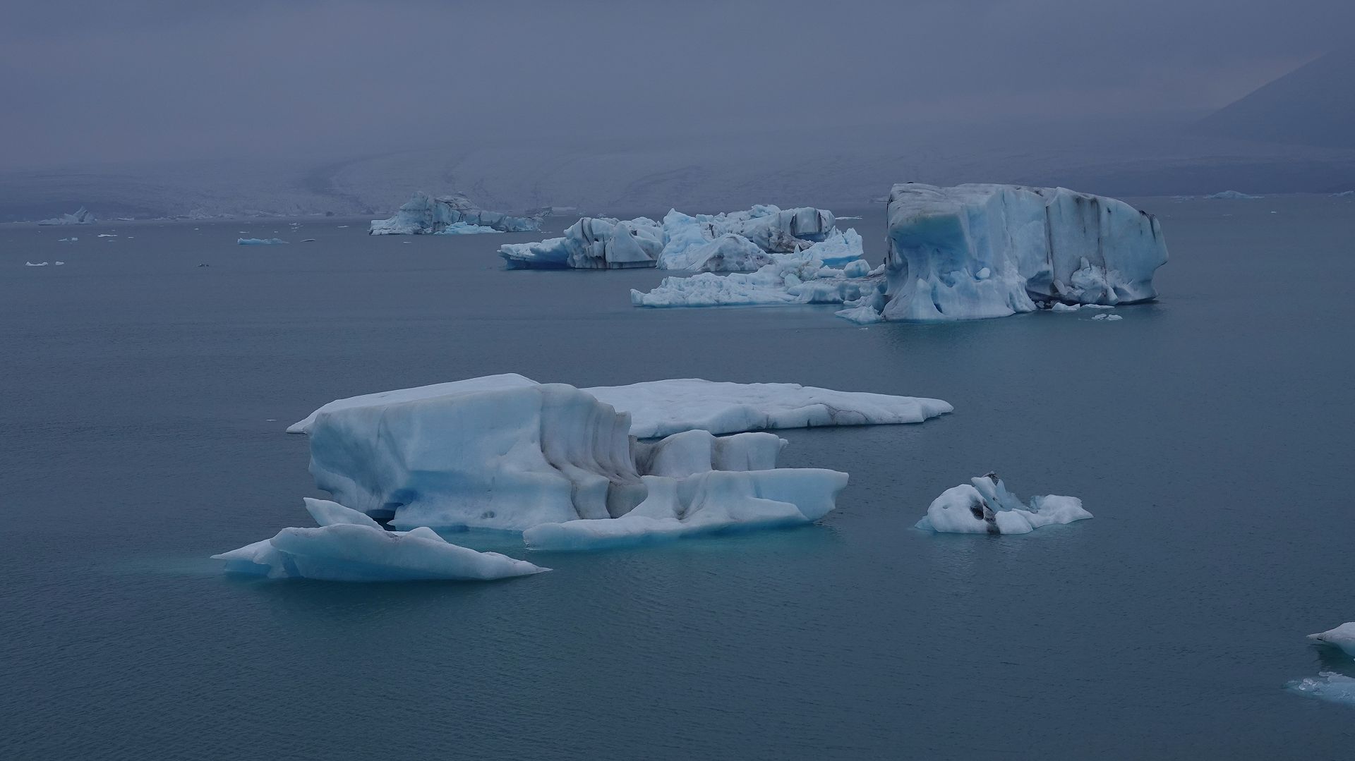
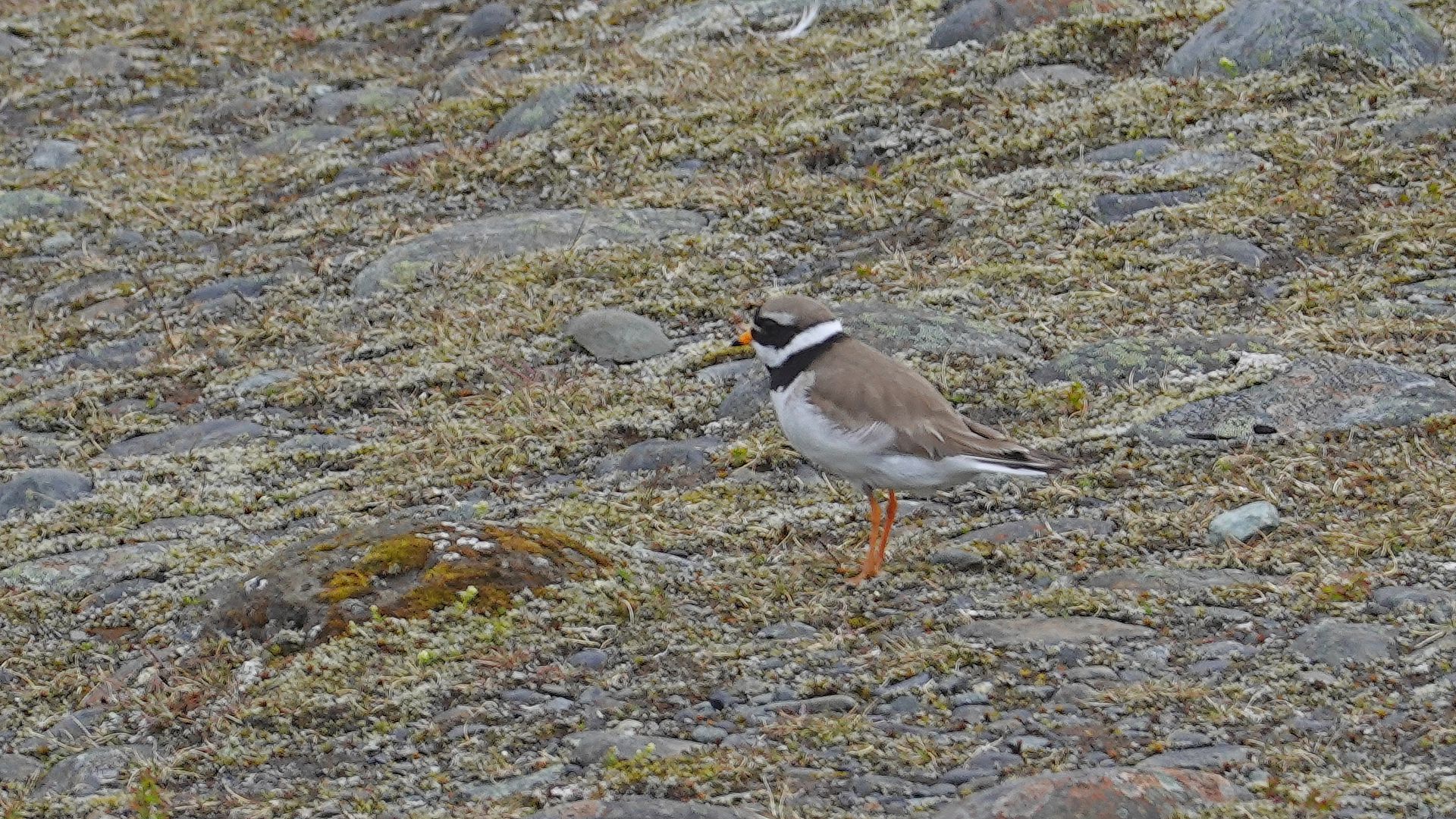
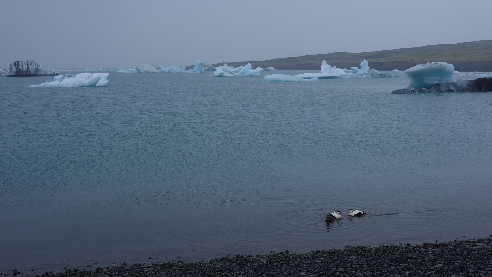
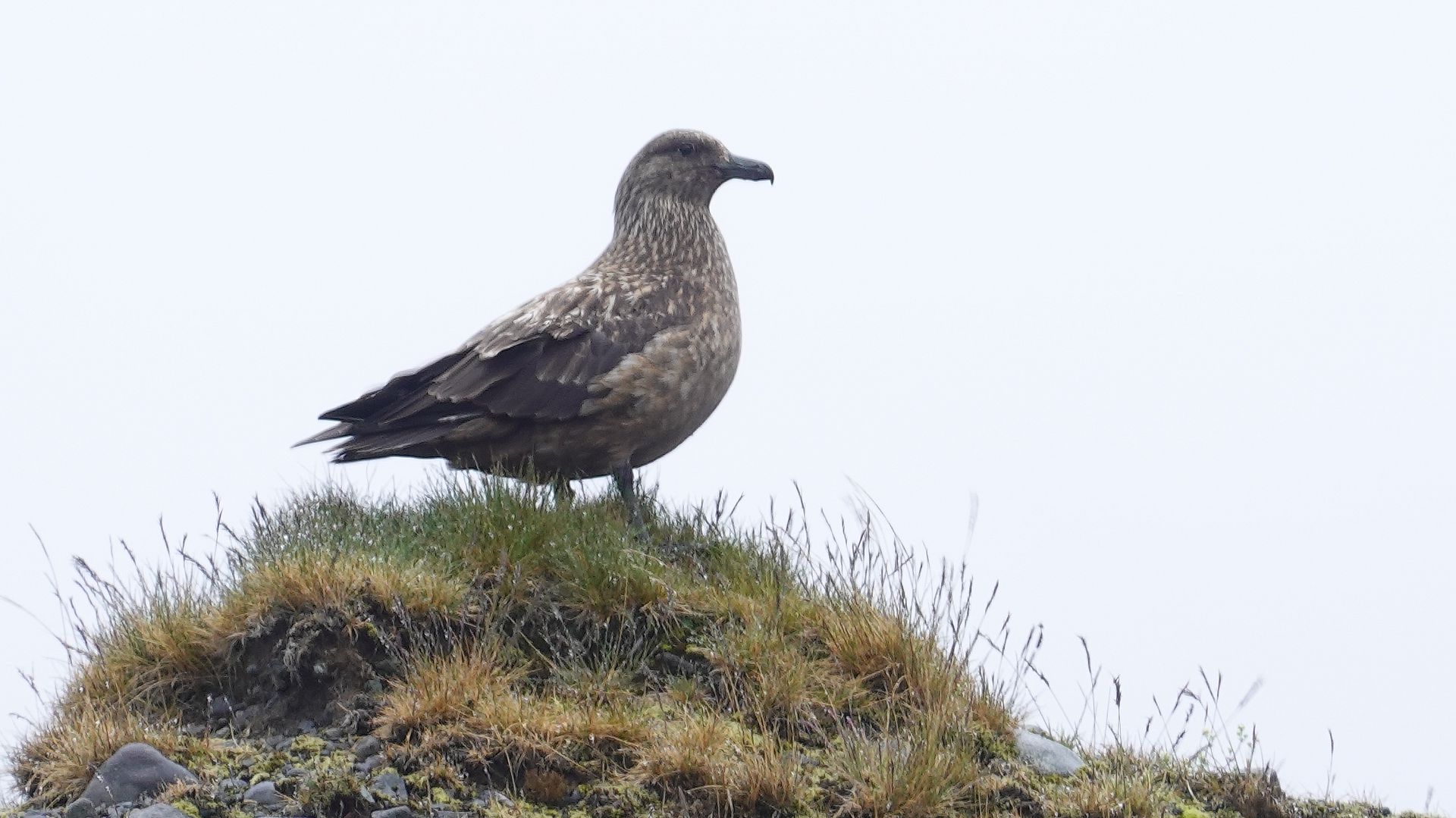
1. Fjallsjökull. 2. Icebergs (glacier from whence they came is faintly visible behind). 3. Ringed plover. 4. Ducks and icebergs. 5. Great skua.
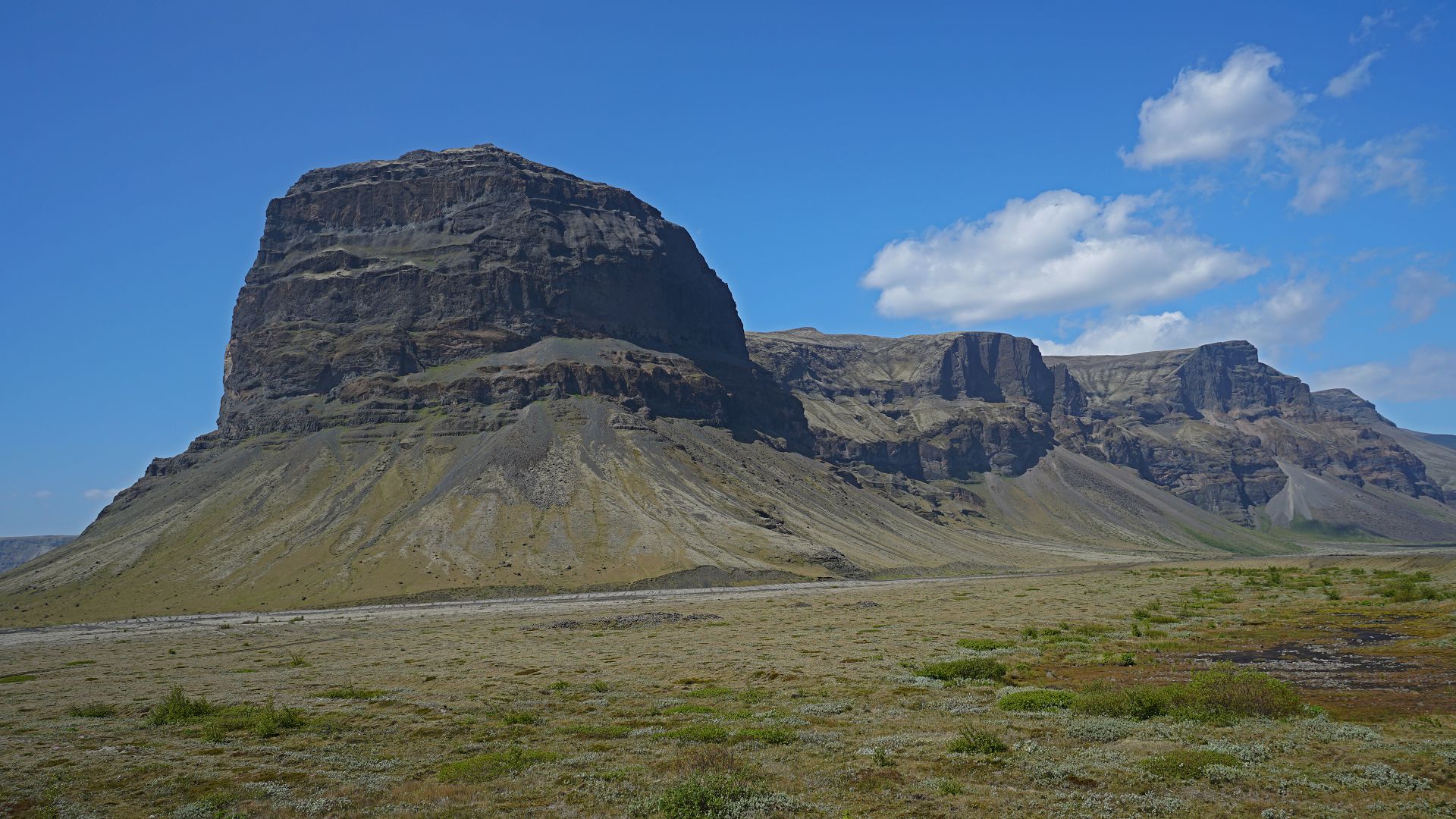
From the eastern fiords to Mývatn
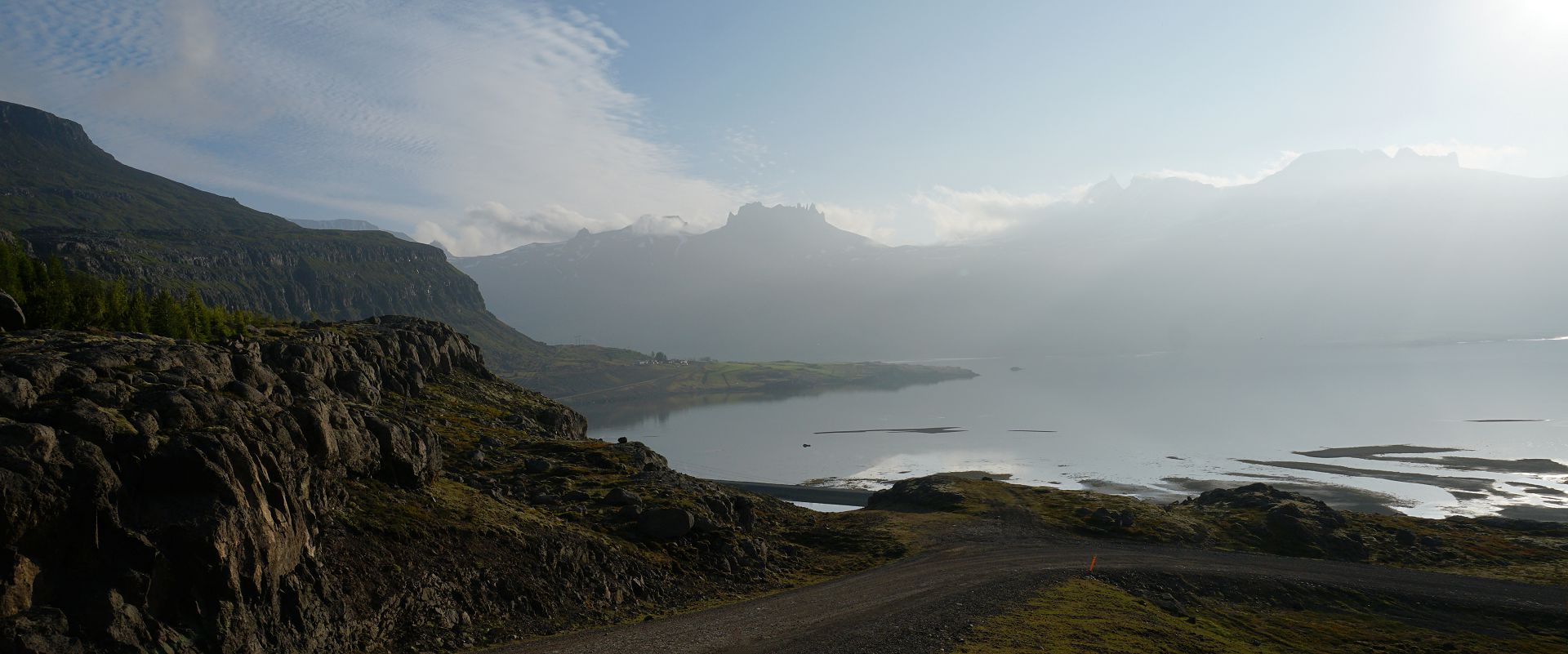
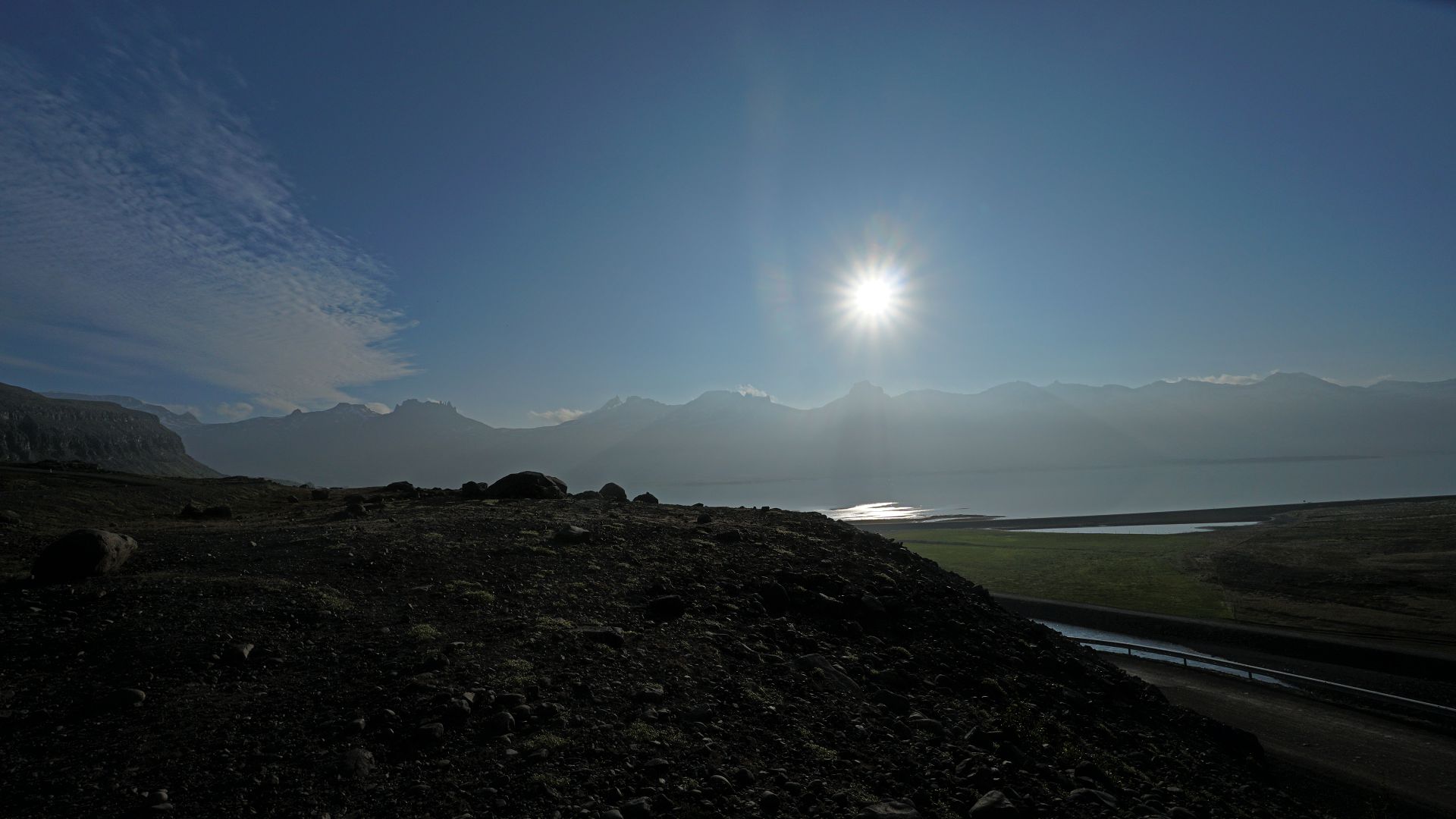
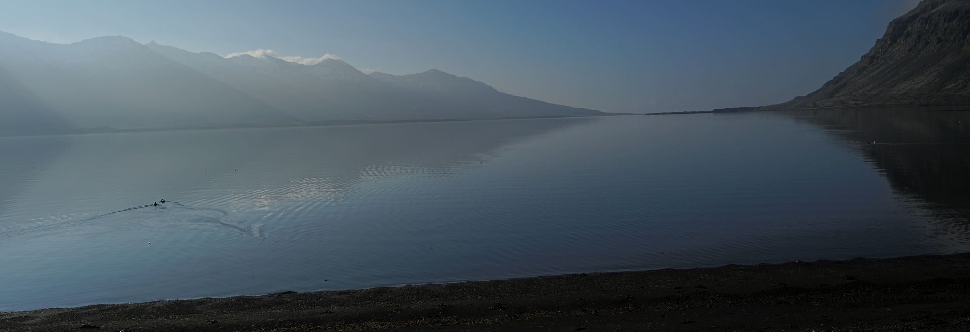
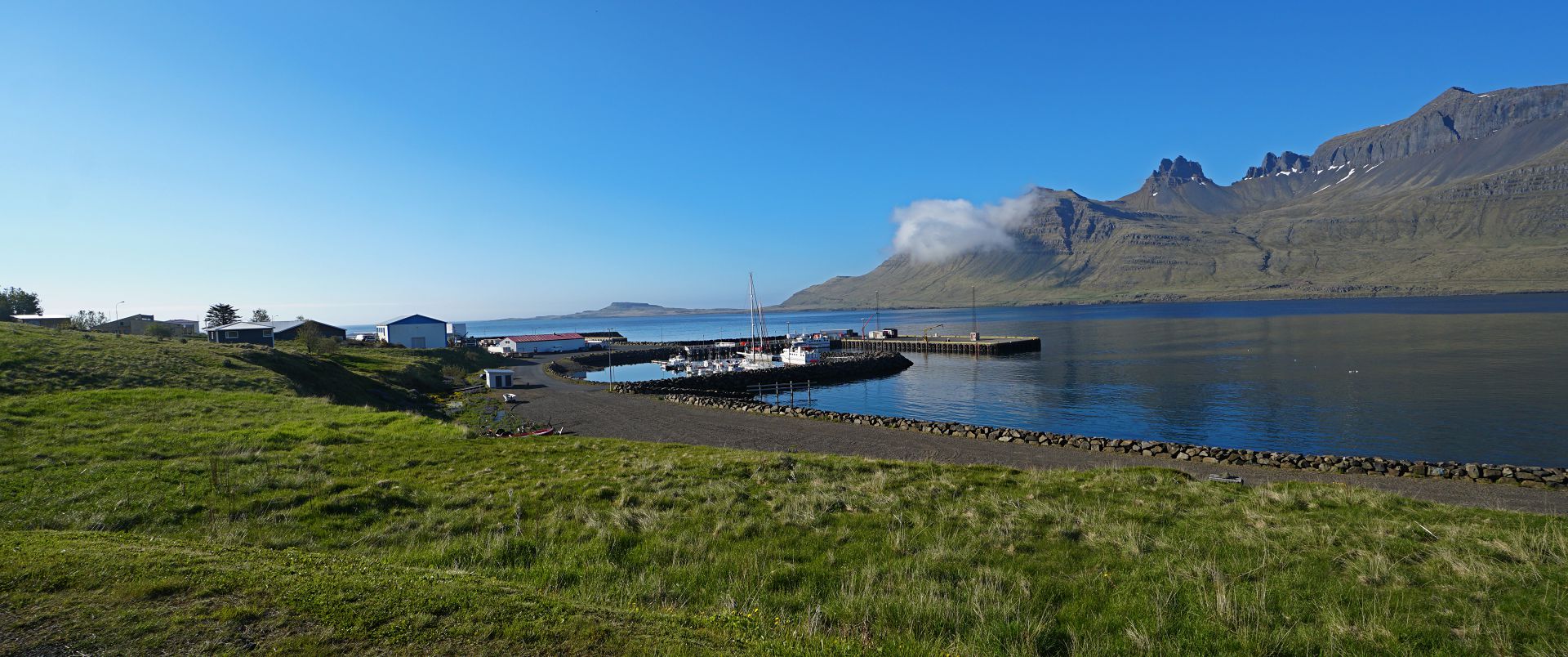
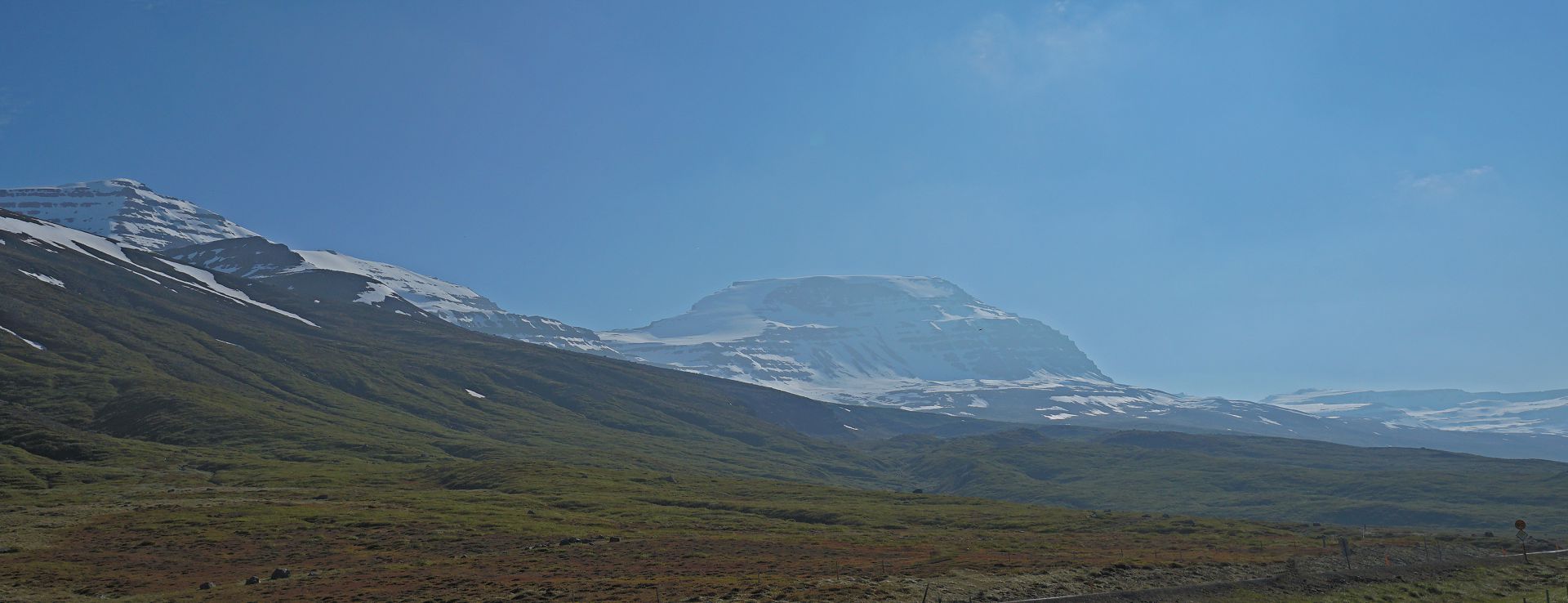
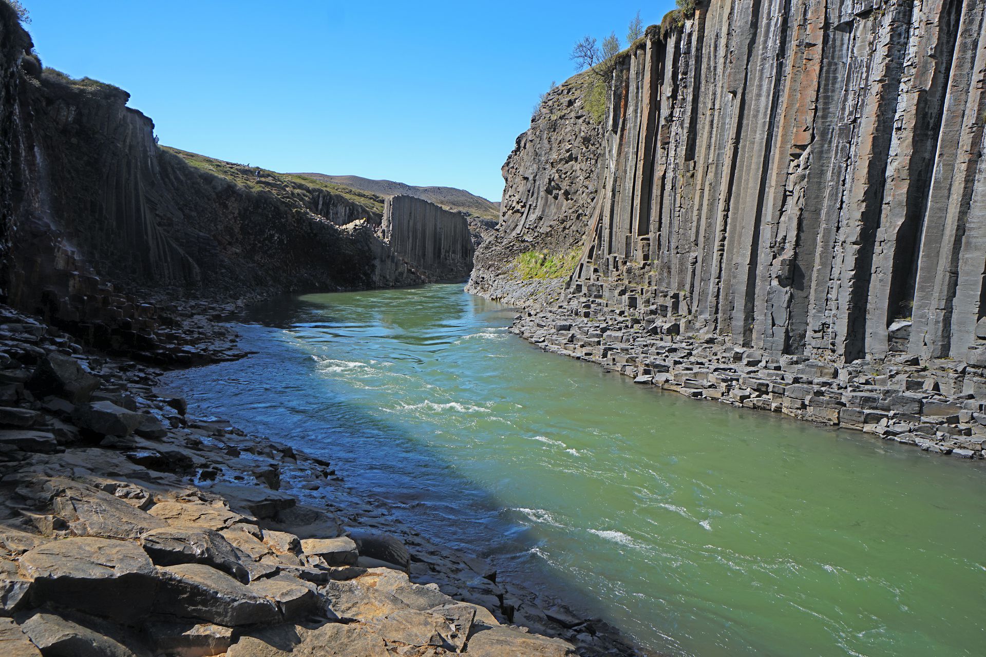
1,3,4 Berufjordur (fiord) Where the Norwegian evangelist Thangbrand landed in the 10th century. 2. Waterfall in the Fossardalur 5. Faskrudsjordur (fishing port). 6. Peak. 7. Stuolagil Canyon: note the geometric shapes in the basalt (volcanic) rock. 8. Crossing the plateau. It was possible to see the line of large cairns marking the ancient route.
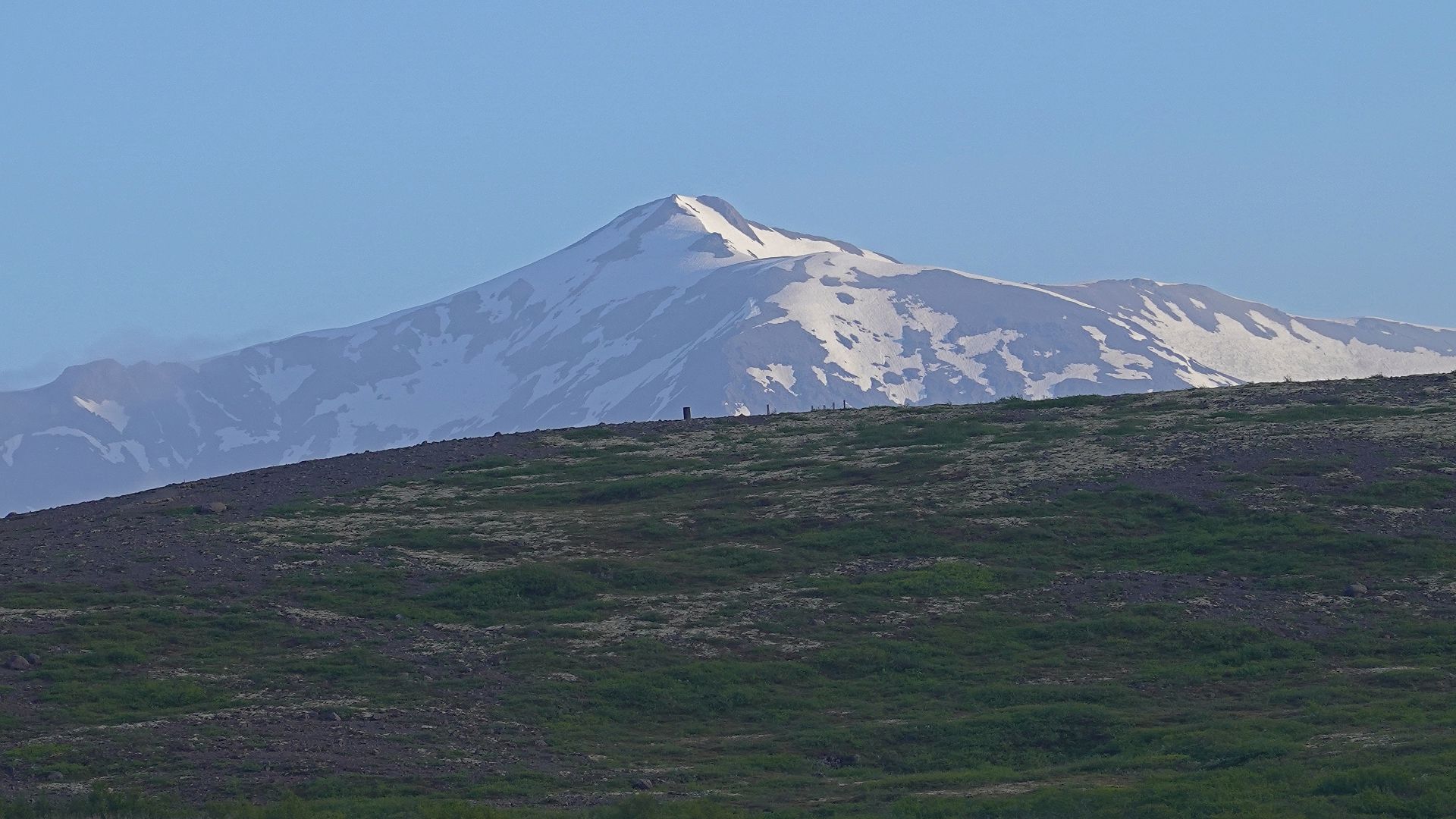
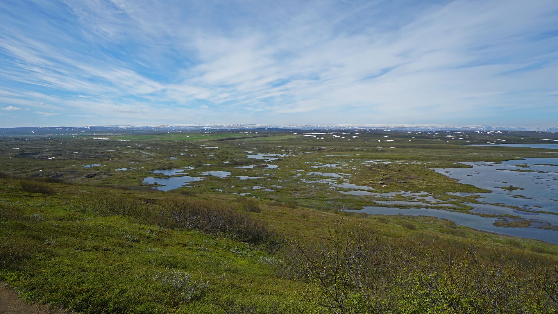
Mývatn (volcanic lake)
In northern Iceland, latitude 65.6 degrees (June 15, sunrise 1:40 am; sunset 12:37 am).Skútustaðagígar: birds and volcanic pseudocraters
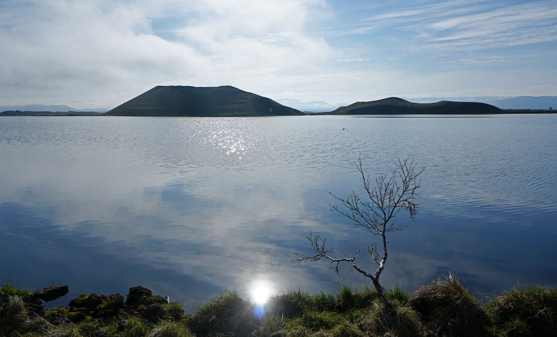
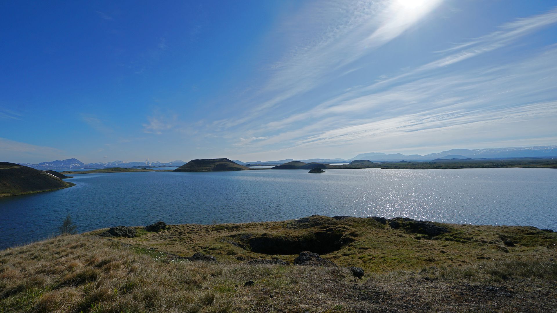
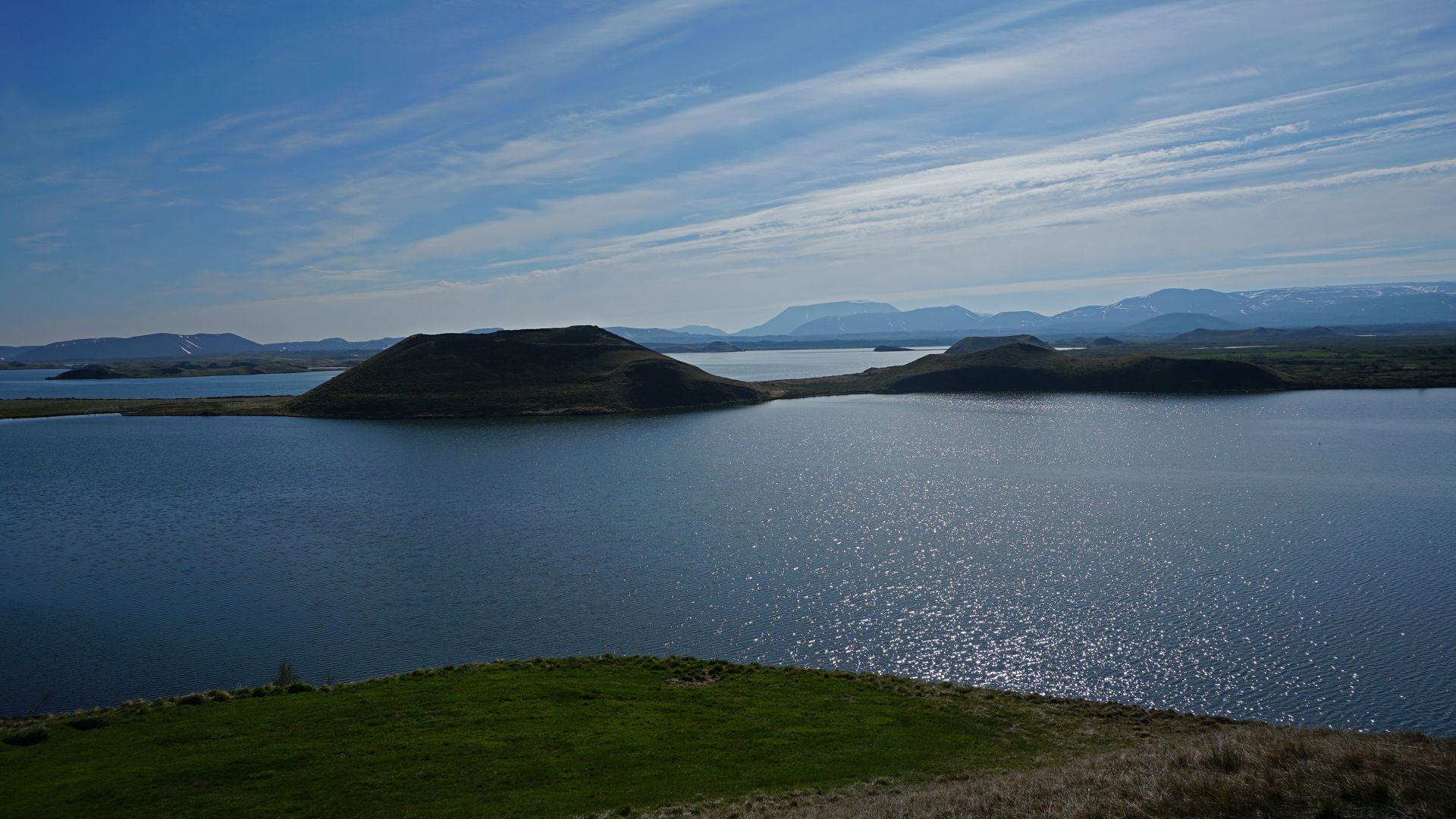
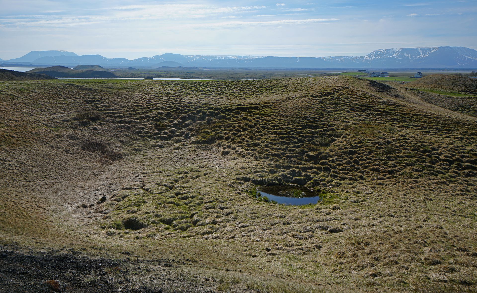
1. Rare "tree" and lake. 2. The spots above the tree in the first photo are ducks. 3. Volcanic pseudocrater and lake. 4. Lake and surrounding mountains. 5. Volcanic pseudocrater. [No bird photos --- I took only a wide-angle lens.]
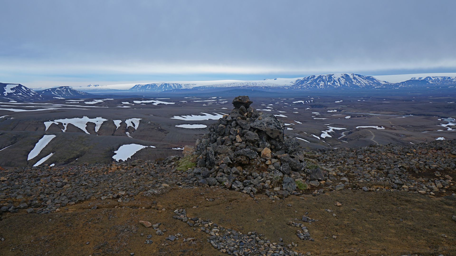
Mt Vindbelgjarfjall: mountain to the west of the lake.
Not the highest peak I've climbed, but the northernmost (65.4 vs 63.1 for Denali).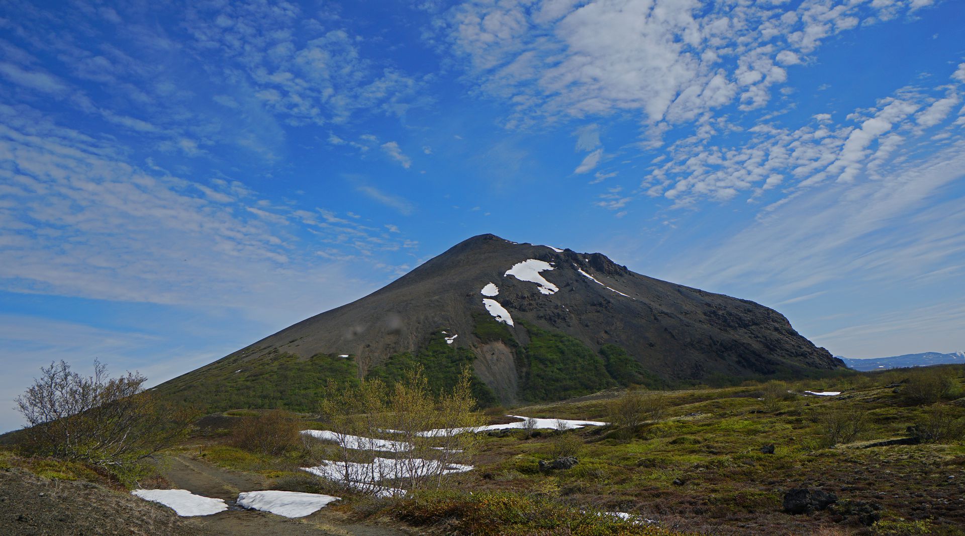
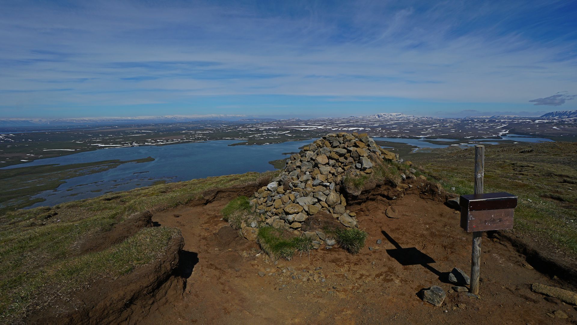
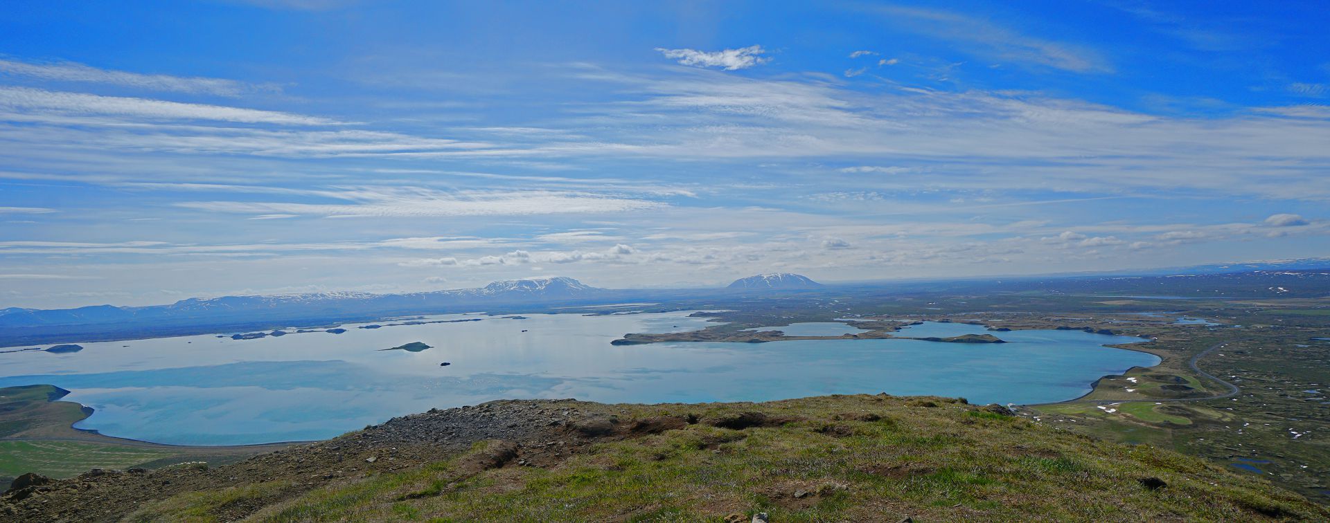
1. Mt Vindbelgjarfjall. 2. Top (no, I didn't write my name in the book). 2. Lake Mývatn from top. 4. Ponds, from the descent.
Dimmuborgir: lava field
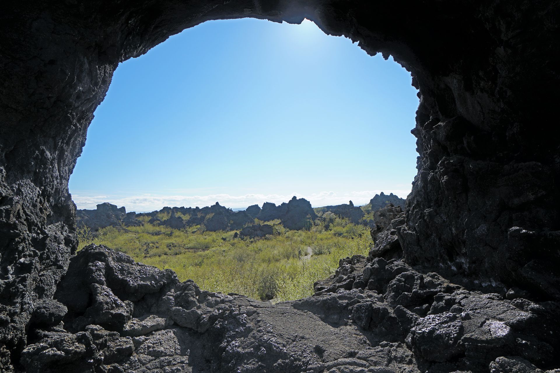
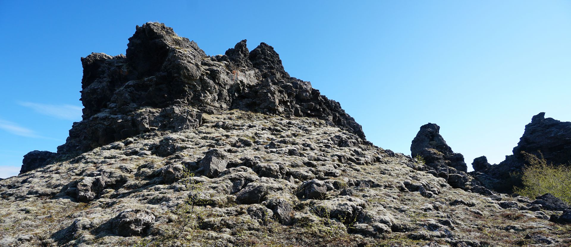
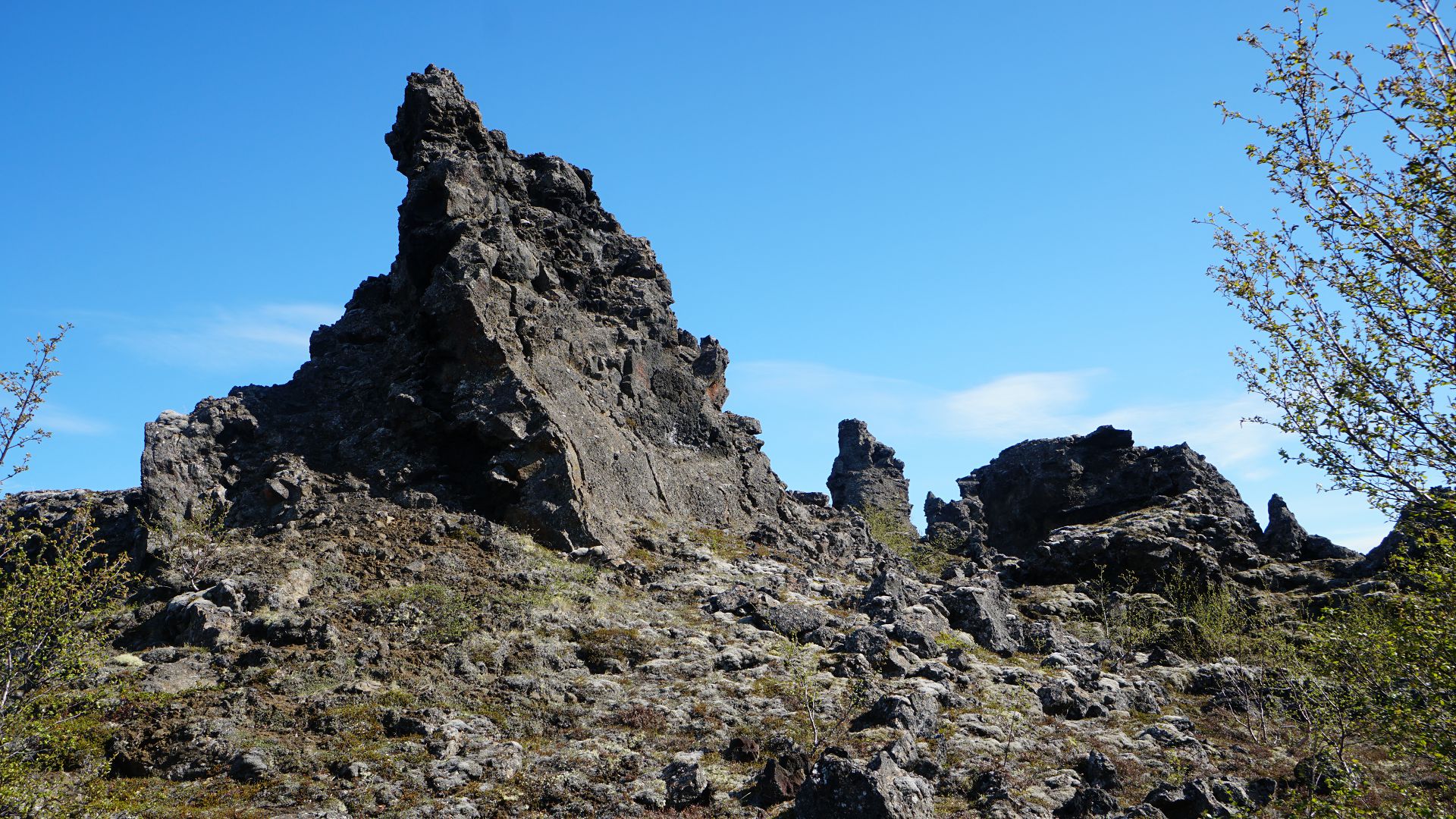

1,2,3. In the lava field. 4. View across the lake to Mt Vindbelgjarfjall.
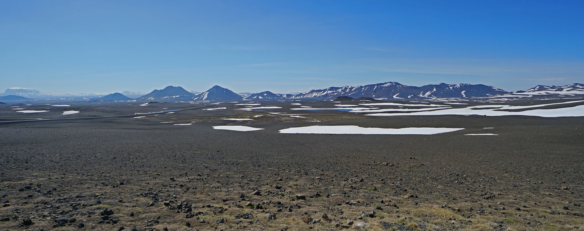
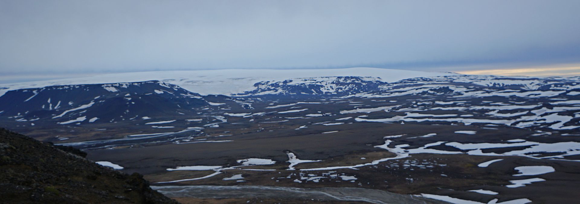
Driving the "mountain" road F35
This is a 200 kilometer long rough road through the centre of Iceland, passing between two giant ice caps. It is closed in winter, and didn't re-open until the day before I crossed (16th June), and then only for 4x4s.On the road
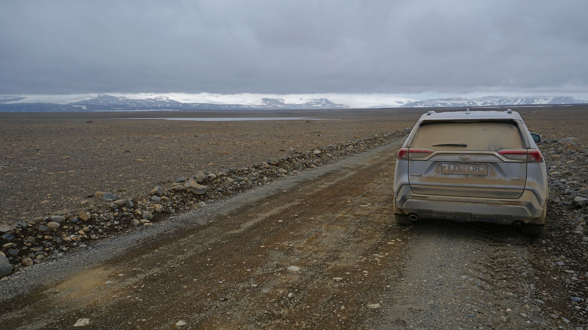
First the GPS got lost, then the "lane departure alert" quit, and finally the "pre-collision system" failed (dirty sensor), leaving me to drive in peace.
Kerlingarfjoll
Followed a side road (even rougher) for 16 km, and did two short hikes. In the 100 km to the turnoff, I'd seen only four other vehicles.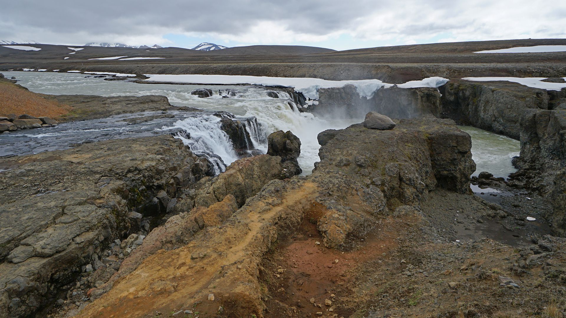
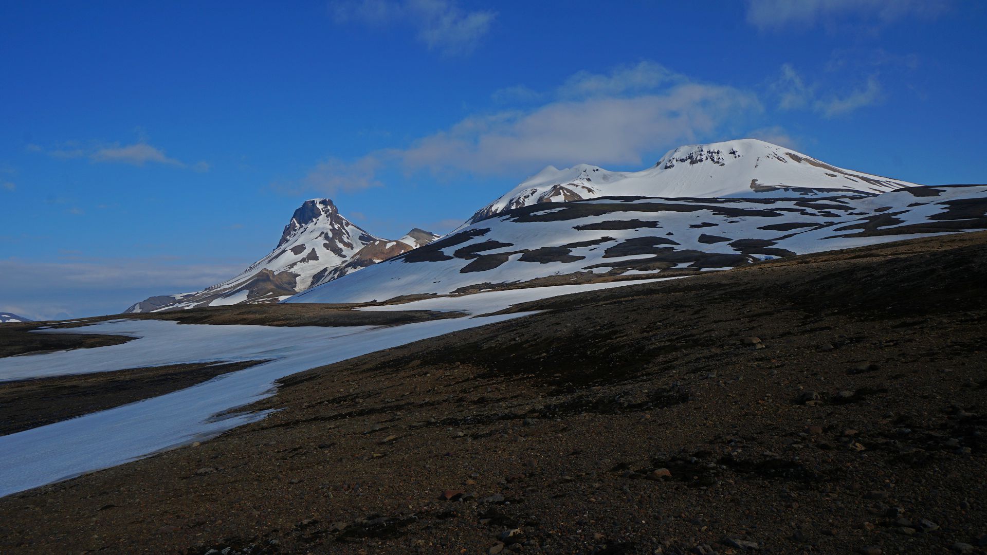
1. Volcanic rock and waterfall. 2. Peaks. 3,4. From the top of Mt Asgarddsfjall it is possible to see the second and third largest ice caps in Iceland (Langjökull and Hofsjökull)
Oh no! not another waterfall
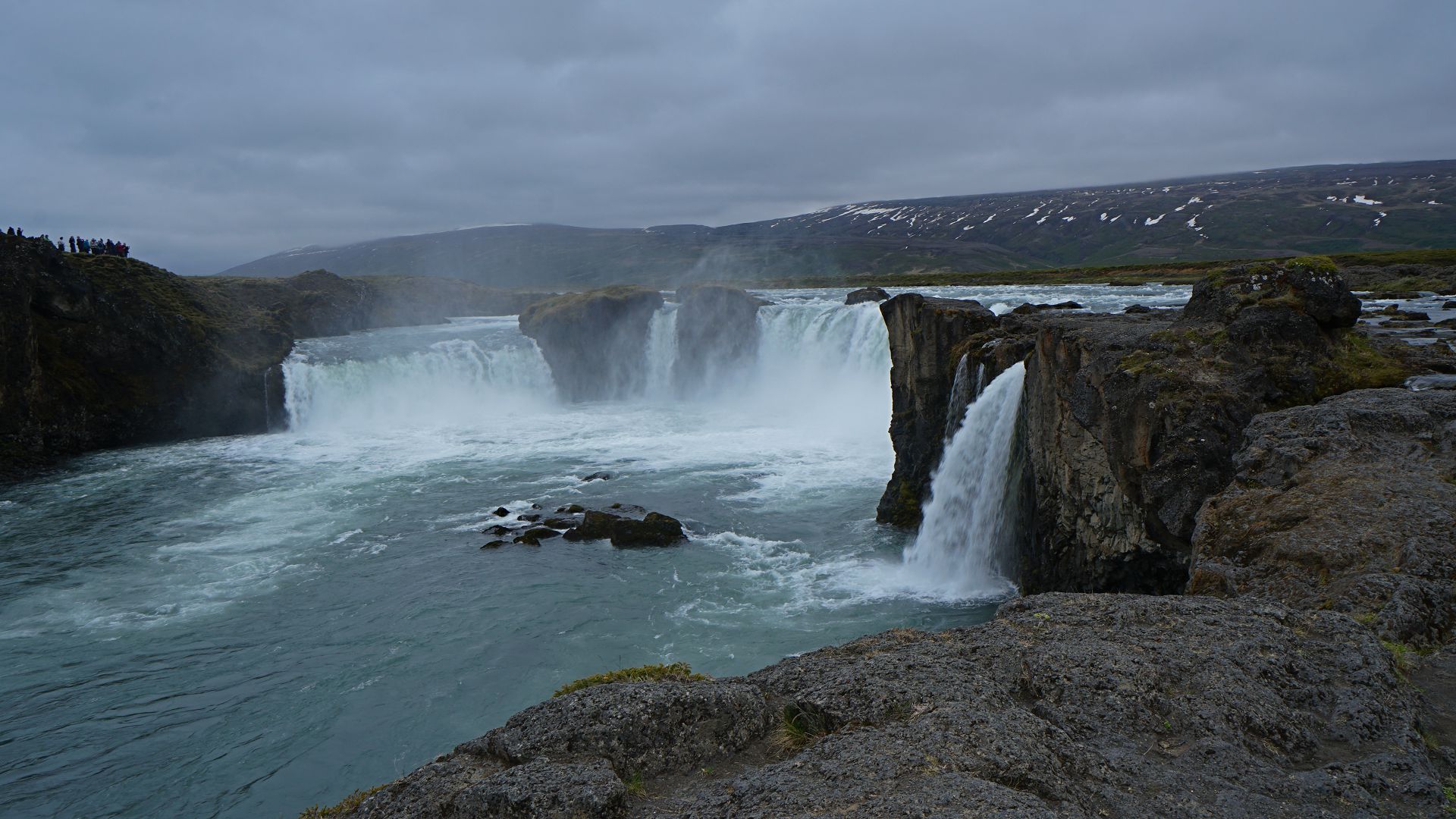
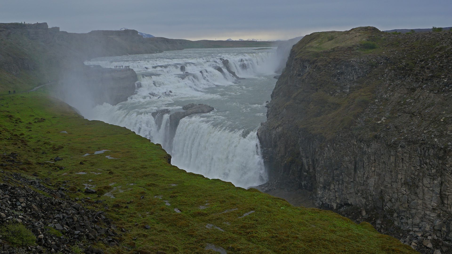
1. Goðafoss. When Þingvellir, Iceland's ancient parliament (in 1000AD), decided that all Icelanders would become Christians, Goðar cast his pagan idols into the waterfall, after which the waterfall has been called "Waterfall of Goðar" (or so they say). 2. Gulfoss.
Copyright © 2024 J.S. Milne. Email: mi at jmilne.org.